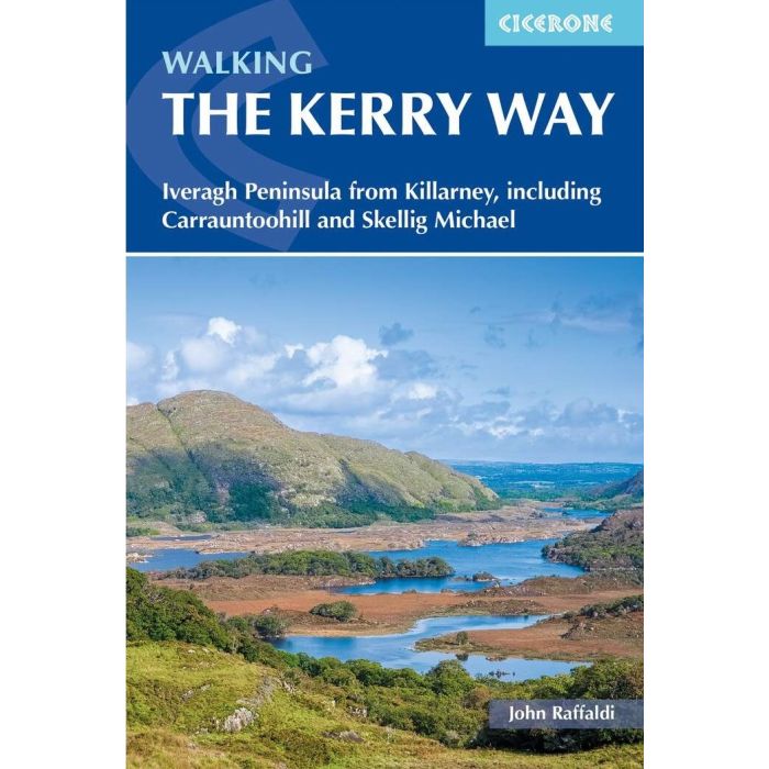
Walking the Kerry Way


Spesa minima per la spedizione gratuita: 50,00 €
NOTA: Valido solo per spedizioni in Italia
Guida al Kerry Way, trekking circolare di 190km in Irlanda, da Killarney sino a Waterville e ritorno. Killarney, Black Valley, Glencar, Glenbeigh, Cahersiveen, Waterville, Caherdaniel, Sneem, Kenmare.
A guidebook to walking Ireland’s Kerry Way. Covering 190km (117 miles), this circular route from Killarney takes around 10 days to hike and is suitable for walkers of most abilities. The route is described anti-clockwise in 10 stages of between 13 and 25km (8–16 miles). Also included are a number of side-trips in the area, including an ascent of Carrauntoohil (Ireland’s highest mountain), the Cnoc na dTobar pilgrim’s path and a marine landing on UNESCO-listed Skellig Michael.
-
1:50,000 maps included for each stage
-
Handy route summary tables and accommodation listings help you plan your itinerary
-
Refreshment and accommodation information given for each trek stage
-
Advice on planning and preparation
-
GPX files available to download
| Codice prodotto | IR014 |
|---|---|
| Autore | Raffaldi J. |
| Editore | CICERONE PRESS |
| Collana | CICERONE ENGLAND, SCOTLAND & IRELAND TRAILS |
| Lingue incluse | Inglese |
| Anno | 2024 |
| Formato | 12x17 |
| Pagine | 144 |
| Foto | col |
| ISBN | 9781786312167 |
| Stati | Irlanda |
Peso
Spedizione con corriere in max 48 ore.
Qualora l'imballo evidenzi danni / manomissioni NON accettare la merce
-
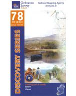 Kerry contea - Macgillycuddy's Reeks f.78 1:50.000Special Price 10,35 € Prezzo Base 11,50 €
 -
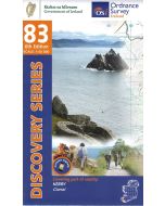 Kerry contea - Cahersiveen f.83 1:50.000Special Price 14,40 € Prezzo Base 16,00 €