


Alto Appennino Imolese 1:25.000 + guida
€9.00
In stock
Product code
GUR09
Autore:
Track Guru
Collana:
PROVINCIA DI BOLOGNA
Editore:
L'ESCURSIONISTA EDITORE


Map of the paths of the Upper Imola Apennines.

Spesa minima per la spedizione gratuita: €50.00
NOTA: Valido solo per spedizioni in Italia
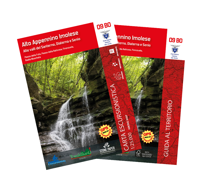
Map of the paths of the Upper Imola Apennines, upper Santerno, Diaterna and Senio valleys, with WGS84 kilometer grid and attached guide to the area. Printed on ecological, waterproof and resistant support. Raticosa Pass, Futa Pass, Firenzuola, Badia Moscheta.
| Product code | GUR09 |
|---|---|
| Author | Track Guru |
| Publisher | L'ESCURSIONISTA EDITORE |
| Series | PROVINCIA DI BOLOGNA |
| Scale | 1:25.000 |
| Languages Guidebook | Italian |
| Languages Maps | Italian, English |
| Year | 2022 |
| States | Italy |
| Regions Italy | Emilia Romagna, Tuscany |
Write Your Own Review
Weight
0.17 (Kg)
Spedizione con corriere in max 48 ore.
Qualora l'imballo evidenzi danni / manomissioni NON accettare la merce